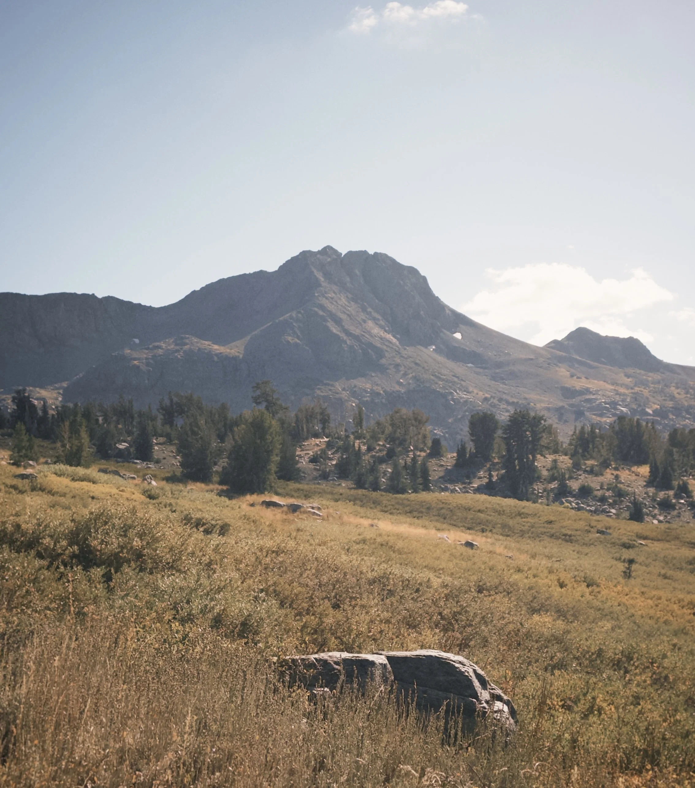
Round top peak
Climbing Round Top Peak: A Scramble Above Carson Pass
Round Top sits just south of Lake Tahoe off Highway 88. At 10,381 feet, it's an extinct volcano and the highest point in both the Mokelumne Wilderness and Eldorado National Forest. It's also one of only three peaks over 10,000 feet visible from Lake Tahoe. My friend and I wanted to be on the summit before noon. We got there at 12:15, which I'll count as close enough.
Quick stats: The route starts at Carson Pass (8,574') and heads south on the Pacific Crest Trail. The most-climbed route is about 8.3 miles round trip with roughly 1,890 feet of gain, and it's rated Class 3.
The easy part
We left the trailhead around 8:30 a.m. The first two miles or so were a breeze, mostly because we kept stopping to take pictures of the mountain we were about to climb. Seeing the peak ahead of you the whole way is a good motivator. We reached Winnemucca Lake around 9:45, a little slower than planned, but nothing worrying.
One trail writeup describes the route as two hikes: a gentle climb to Winnemucca, then a much steeper climb to the summit. That matches how it felt. We hung out at the lake for a while and ate, since we were at the true base of the mountain and the hard part hadn't started yet.
After the lake, the trail turns into a real climb. We took short breaks as we went, and our only long break (more than 10 minutes) was at a rock about a quarter mile before the summit scramble. After that rock, the trail got insanely steep. We stopped trying to move fast and just took slow, steady steps.
The last quarter to half mile is the fun part. There's a lot of Class 2–3 scrambling to get up to the ridge, and the ridge itself isn't very exposed. Then there's a break between the ridge and the summit, so you have to downclimb a bit. Guides say this west ridge summit is a short class 2 scramble that most hikers stop at, while the true summit is to the east, across the gap, and is class 3.
Depending on your route, the last section is about class 3.5, which is what I took, or class 4, which is what my friend took. Both were decently exposed, and a fall would most likely be fatal. Reviewers say the true summit involves Class 3 to 4 scrambling with consequential falls. This isn't a hike for anyone who's uneasy with exposure.
We got to the top around 12:15 and spent about 30 minutes eating and taking photos. I came on a day with great visibility and not a cloud in the sky so the views were insane, you could see tahoe out to the north, Mount Tallac around there as well. Outside of tahoe you could see quite far down south, I saw Sonora Peak and Leavitt peak down south that faces towards Yosemite(you can’t actually see down to Yosemite but many mountains in between Tahoe and Yosemite.)
The summit downclimb is always annoying, and the trail descent is always a slog. But the trail was great, and I'd do it again in a heartbeat. It's a pretty hard hike with great views.